
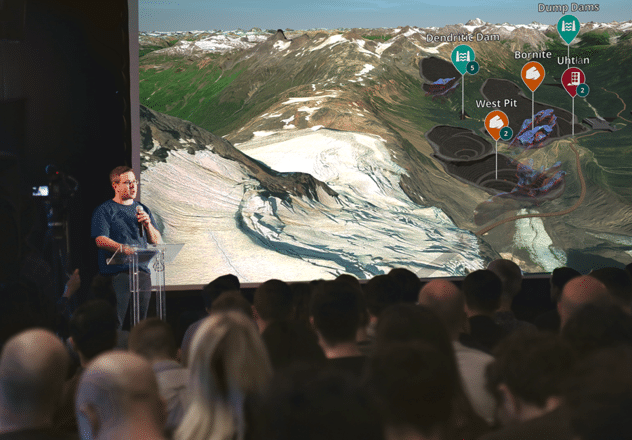
Presentations that engage stakeholders
Anyone can easily create and export compelling fly-through videos and other assets for presentations, improving communication and increasing engagement in existing projects and proposed developments.
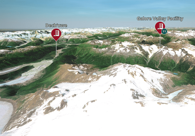
Centralized data with remote access
Bring your remote site into the office with real-time or near-real-time operational data integrations. Collaborate with more efficiency and effectiveness by providing everyone with BOTH the information and the context needed to be proactive, identify issues earlier, and empathize with the on-site realities.
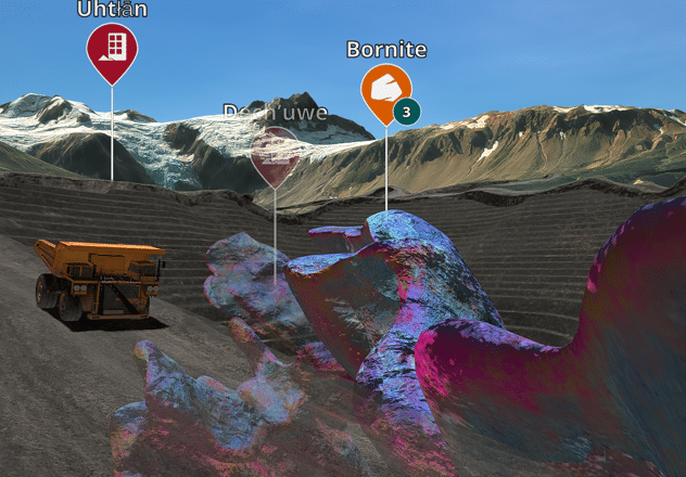
Reduced travel, faster approval
Give remote experts and key stakeholders the opportunity to virtually visit a mine site while reducing safety risks and travel, and speeding up collaboration.


